Accelerated by a growing population and increased industrialisation, the last 250 years have seen tremendous changes to our planet. With the advent of new machinery, power sources, and chemical processes, humanity is effecting the environment at a scale previously unimaginable.
However, society is now more mindful of the impact human activity has on the environment. From devastating climate change effects to the adverse outcomes of polluting the land we farm, the air we breathe, and the water we drink.
Nowadays, we are struggling to put the genie back in the bottle, attempting to develop more sustainable practices that halt any harmful effects on our environment. But how can we use technology to solve the problems technology helped create?
The first step is understanding the problem by measuring it.
Measuring the impact of human activity
Environmental monitoring refers to tools and processes used to measure environmental conditions and trends as well as the impact of current and future human activities. It aims to highlight how we are damaging the environment and aid society in moving towards more sustainable processes that minimise or even reverse detrimental environmental effects.
Governments and international organisations undertake environmental monitoring to support decision-making and the implementation of new policies, protecting the natural world. Enterprises also undertake it to ensure compliance with laws and regulations, proving they are taking the necessary steps to minimise their environmental footprint.
As broad as the natural world itself, environmental monitoring can be divided into many fields, including:
- Air monitoring
- Soil monitoring
- Water monitoring
- Waste monitoring
- Measuring biodiversity
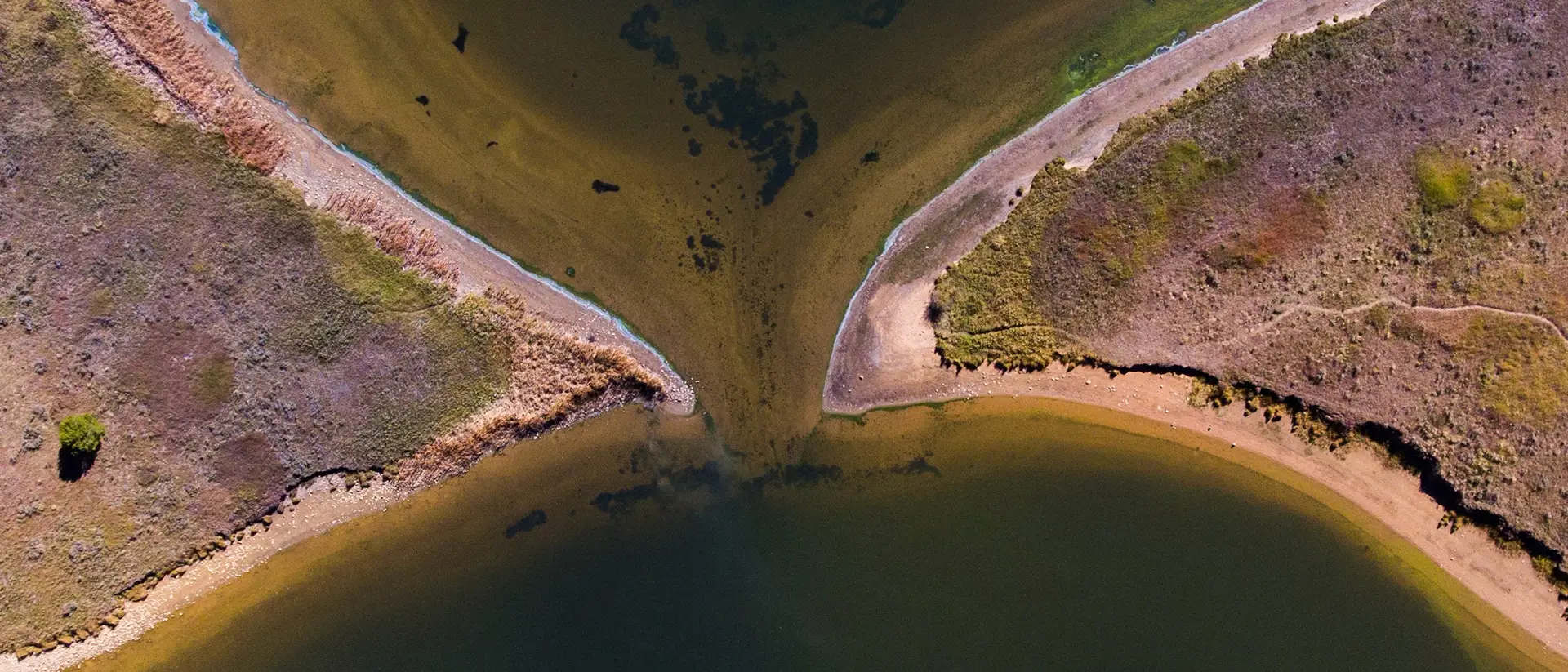
The size and scope of environmental monitoring led to many techniques covering different aspects. One of the most important sources of environmental monitoring data is remote sensing – the process of detecting reflected or emitted radiation (or light) from a distance using specially designed cameras to measure important characteristics of the natural world.
Remote sensing can be used in the field, but the true benefits are realised by collecting information on a larger scale using satellites, aircraft, or drones. With airborne sensors, scientists can gather data across large and inaccessible areas, monitoring environmental factors as they change with time. A recent example, saw a methane leak in Cheltenham detected from space. Advances in remote sensing technology and the introduction of new techniques allow researchers to monitor our planet with a higher degree of accuracy and uncover new data in the fight to preserve it. Foremost among them is hyperspectral imaging (HSI).
Using hyperspectral data to unlock the potential of environmental monitoring
Hyperspectral imaging is a technology that provides both spatial and spectral information. While a traditional camera measures visible light using only three channels (red, green, and blue – RGB), a hyperspectral camera sees in many more channels to uncover new details hidden in the spectra.
An RGB sensor combines three channels to recreate the colours of the rainbow and how our eyes perceive the world around us. HSI moves beyond these limitations to recreate the spectra, or at least provide spectral information, from the light entering the camera. This additional data produces a 3-dimensional hypercube of information, with 30 or more wavelength bands for each pixel in the 2-dimensional image.
By capturing more than what meets the eye, HSI can uncover a wealth of information – opening the door to new use cases across various industries, including environmental monitoring.
Vegetation health monitoring
Accurately measuring the spectral reflectance of vegetation using hyperspectral systems allows researchers to determine key metrics related to:
- Vegetation type and density for studying biodiversity
- Plant health and whether specific diseases are present
- Other stress factors, such as drought
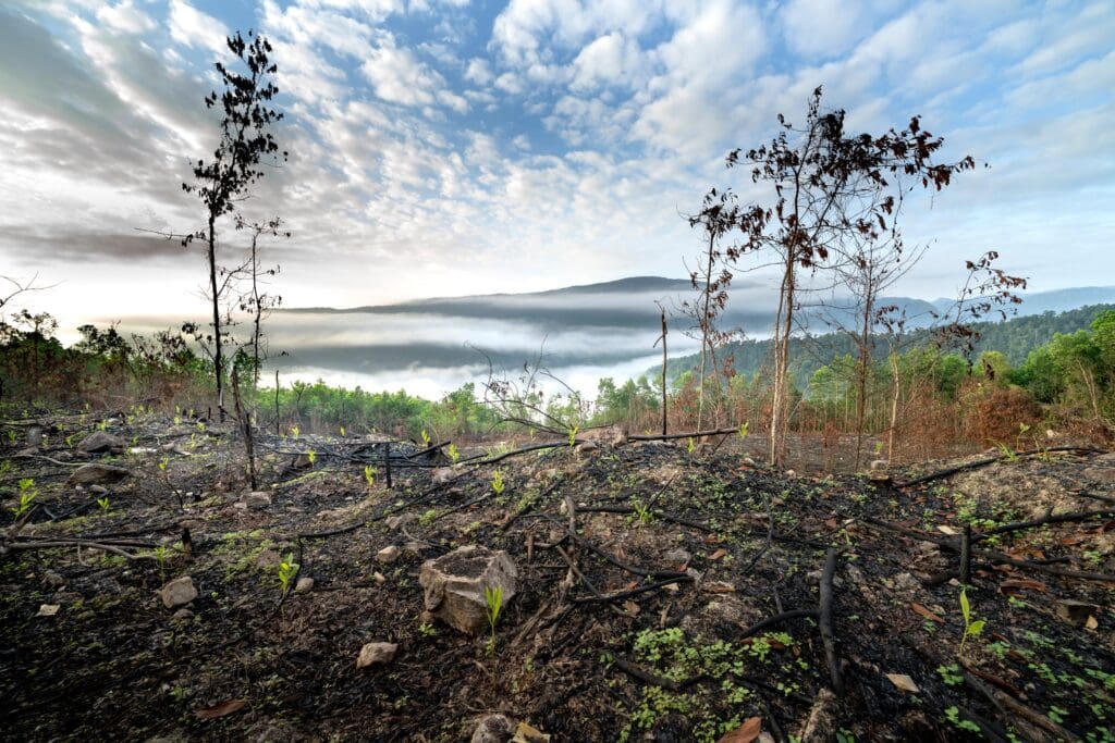
Therefore, hyperspectral data enables vegetation health monitoring to track deforestation and agricultural crops, improving quality and yield.
Diseases change the biochemical composition of plant tissues. This change is reflected in the colour and shape of the plant as well as the spectral characteristics of the light it reflects. For example, a disease affecting the plant’s photosynthetic activity leads to changes in reflectivity in the visible range. However, changes at the cellular level are more likely to be detected in the near-infrared spectrum.
Early detection of crop disease can produce significant savings for the agricultural industry while also increasing the efficiency of modern farming techniques. HSI makes it possible to identify biotic stress symptoms caused by pathogens during the incubation phase before they are visible to the human eye.
Comprehensive vegetation health monitoring will require multiple HSI systems. Satellite hyperspectral data can provide an overview of vegetation across large areas. Airborne HSI systems (e.g., mounted on a UAV) will supplement satellite data and add more detail. However, to identify disease and assess crop health the imager needs to be significantly closer, utilising a land-based system. For example, crop disease often starts in the roots which would not be possible to image using satellite or airborne devices.
Precision agriculture
By providing spectral information on crops, HSI helps modern agricultural management practices, optimising resource usage and improving crop yields. HSI-enabled precision agriculture allows farmers to make decisions based on key crop metrics. This leads to:
- The early detection of stress factors such as diseases and pests, enabling early intervention
- Soil analysis returning crucial properties such as moisture content and nutrient levels
- The ability to assess quality and plant maturity for ideal harvest times
- Better yield estimates, helping farmers better manage their crops and maximise output
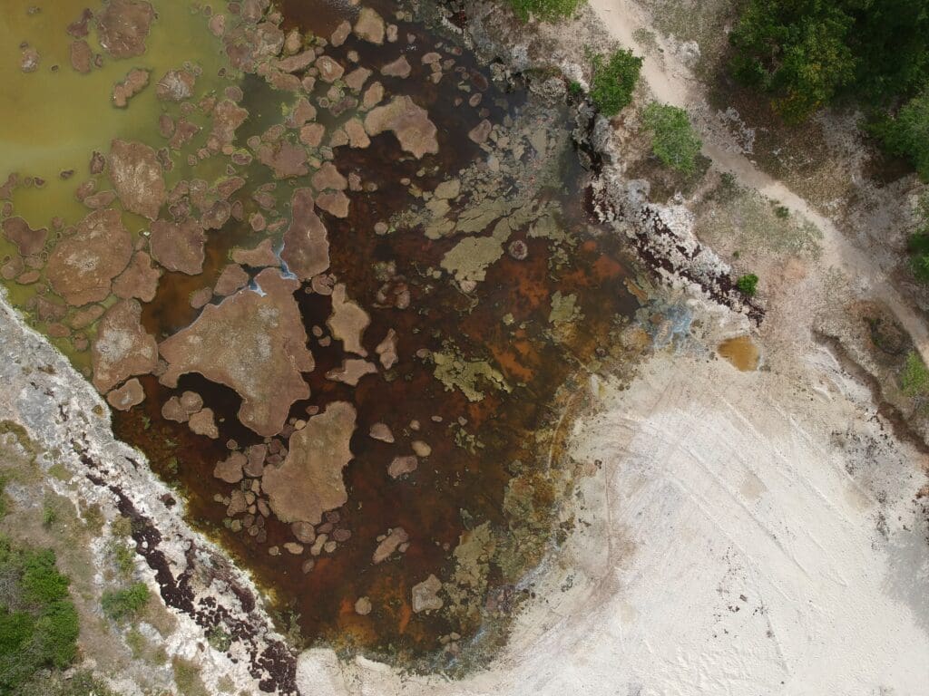
Water quality analysis
Hyperspectral data can estimate water quality and monitor bodies of water for pollution, oil spills, sedimentation, and algae blooms. By approximating the levels of multiple variables (e.g., phosphorus, chlorophyll, nitrogen, dissolved organic matter, etc.) and measuring turbidity, it is possible to determine the quality of a water sample.
NASA uses the Hyperspectral Imager for the Coastal Ocean (HICO) to identify harmful and toxic algae blooms that damage aquatic and human health, especially when present in drinking water reservoirs. Biological matter present in algae blooms emits unique wavelengths invisible to the naked eye. This spectral signature can be identified by measuring the fluorescence and backscattering of sunlight.
The development of HICO and other hyperspectral systems shows that HSI can improve water quality analysis compared to traditional ocean colour satellites and field-based monitoring.
Land cover and land use mapping
The enhanced spectral resolution of HSI improves land use and land cover (LULC) mapping. Increasing the number of wavelength bands per pixel makes it possible to improve land cover types and land use classification, reducing ambiguous results. With greater use in LULC, HSI is becoming critical to future urban planning and conservation efforts.
Other HSI environmental monitoring use cases
- Disaster management: HSI could help determine the impact of a natural disaster (wildfires, landslides, flooding, etc.) and better coordinate recovery efforts.
- Wildlife conservation: tracking migration patterns and studying animal habitats to aid conservation efforts, including monitoring endangered species.
- Marine ecosystem monitoring: assessing the health of coastal and marine ecosystems such as coral reefs and seagrass beds.
- Atmospheric studies: tracking the air quality of different locations, including pollutants such as greenhouse gas emissions.
- Urban heat islands: measuring temperature across cities and identifying/mitigating the effects of heat islands (locations with increased temperature).
- Mineral exploration: aiding geological surveys by identifying minerals in remote areas.
In conclusion
The effects of climate change are already coming to the forefront with more frequent extreme weather events, shrinking ice sheets, and shifts in plant and animal geographic ranges. Beyond climate change, human activities are also polluting the environment, impacting human health, destroying rich ecosystems, and reducing the amount of farmable land available to feed the planet.
To mitigate these effects, both public organisations and businesses need better methods of measuring them. This means finding ways to track the impact of human expansion (i.e., increased construction, industrial activities, agriculture, tourism, etc.) and developing new rules and legislation to protect the environment.
HSI provides a richer dataset to monitor the environment. By imaging the natural world in more detail, we can better understand how to protect it. Making policy decisions based on accurate information and ensuring organisations adhere to regulations. At Living Optics, we are developing a hyperspectral imaging camera we hope will impact the future of environmental monitoring. Delivering faster, affordable systems to get hyperspectral data to the researchers and policymakers who can make a difference.
To learn more about our next-generation snapshot hyperspectral camera, contact us to schedule a demo .